About LukkaGeoPatrol
LukkaGeoPatrol is a powerful geospatial platform designed to support near real-time patrols and incident management.
It equips law enforcement agencies with essential tools for live mapping, incident reporting, and spatial analytics,
all aimed at improving response times and enhancing situational awareness.
This platform enables officers to stay ahead of incidents, make more informed decisions, and contribute to safer communities.
The system integrates a LINE Bot with a QR code, allowing police officers to swiftly report incidents
to command-level officers or decision-makers, ensuring rapid response and continuous monitoring.
Additionally, web mapping technology and a robust database power the platform,
providing real-time spatial insights and secure data management for law enforcement operations.
Key Features
- Live Incident Mapping – Track and visualize incidents as they unfold.
- Real-Time Reporting – Enable seamless communication and rapid response.
- Geospatial Analytics – Leverage spatial intelligence for strategic decision-making.
- Enhanced Coordination – Improve collaboration between patrol units and command centers.
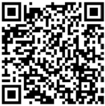
Scan the QR code to access the LINE Bot and report incidents quickly:
The data behind this system comes from Lamlukka Police Station, with contributions from
พ.ต.อ.ถิรเดช จันทร์ลาด, ผกก.สภ.ลำลูกกา.
For more details on the station’s vision, visit their official website:
Lamlukka Police Station